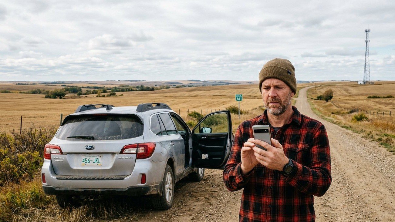
A cellphone coverage map can show a large area as connected while someone standing inside that area still struggles to make a call or maintain a reliable data connection.
The CRTC is trying to narrow that gap between the map and what Canadians actually experience.
On October 2, 2026, Canada’s telecommunications regulator announced a new approach to mobile coverage reporting. Wireless providers will be required to submit more detailed information about their networks, including outdoor signal-strength information, and Canadians will be given a way to identify places where published coverage information does not match actual service.
The change does not mean every dead zone will immediately disappear. Its first purpose is to improve the information used to identify where coverage is strong, weak or missing.
Why is the CRTC changing cellphone coverage reporting?
The issue has been developing for some time.
In January 2026, the CRTC launched a formal consultation on a new mobile reporting standard after acknowledging that existing coverage information did not always reflect what Canadians experience.
According to the CRTC’s mobile reporting standard consultation, 99.5% of Canada’s population technically had access to mobile services.
At the same time, the regulator said public-opinion research continued to show significant coverage gaps.
Those two facts are not necessarily contradictory.
A national coverage percentage measures whether service is considered available to people within defined areas. It does not mean every road, basement, building, valley or rural property within those areas receives the same signal quality.
Why current coverage maps can be misleading
Mobile coverage maps are usually based partly on network modelling rather than someone physically measuring the signal at every location.
The CRTC previously commissioned research into how mobile operators generate these coverage predictions.
The CRTC’s mobile coverage reporting research found that carriers did not historically use one common definition or identical methodology when generating coverage predictions.
That makes comparisons more difficult.
One provider’s definition of covered territory may not produce exactly the same result as another provider using different modelling assumptions.
The new standard is intended to make the information more consistent.
What will wireless providers have to report?
Under the newly announced approach, service providers will report more detailed information about their mobile networks, including outdoor signal strength at different power levels.
That matters because coverage is not simply an on-or-off condition.
A location may technically receive a signal while still having a weak enough connection to make streaming, navigation, video calls or even regular voice service unreliable.
Greater detail should make it easier to distinguish stronger service areas from places closer to the edge of a network’s usable coverage.
Can Canadians report inaccurate coverage?
Yes.
One of the most practical parts of the new approach is that Canadians will be able to flag places where published coverage information does not match what they experience.
For example, a map may indicate LTE or 5G coverage along a highway, rural subdivision or recreational area even though users repeatedly experience dropped calls or no usable data.
Reporting those mismatches can help regulators build a more accurate picture of where problems actually exist.
Does this mean carriers have to build new towers?
Not automatically.
The new reporting standard is primarily about collecting and improving coverage data.
Better data may support future network-investment decisions, government funding programs and regulatory decisions, but identifying a weak-coverage area does not itself guarantee that a new cell tower will immediately be built there.
That distinction matters for rural and remote communities where improving service can require new towers, fibre connections, spectrum or other expensive infrastructure.
Why can a map show coverage when your phone still has no service?
Several factors can affect real-world cellphone reception.
- distance from the nearest tower
- hills, valleys and dense vegetation
- building materials
- network congestion
- the frequency band being used
- the phone model and supported bands
- carrier-specific network configuration
This means two people standing in the same area may not always have the same experience if they use different carriers or different phones.
Device compatibility can be particularly important for phones purchased outside Canada. Maple Curiosity’s guide to imported phones, VoLTE and Wi-Fi Calling in Canada explains why a phone can appear technically compatible but still lose certain carrier features.
The change could make carrier comparisons more useful
Coverage is one of the most important factors when choosing a cellphone plan, but it is often harder to compare than monthly price or included data.
A cheaper plan may not be a better deal if the network performs poorly at home, work or along a regular commute.
More consistent coverage data could eventually make it easier to compare providers using more than a broad national map.
Maple Curiosity’s Best Cell Phone Plans in Canada 2026 looks at price, data and plan structure. Coverage should be treated as a separate part of that comparison.
Why rural and highway coverage matters differently
Urban cellphone problems often involve indoor reception or network congestion.
Rural coverage gaps can be much larger geographically.
A weak area along a highway or outside a small community can affect navigation, roadside assistance and the ability to reach emergency services.
That is why more accurate mapping is useful even if most of Canada’s population is already classified as having access to mobile service.
Population coverage and geographic coverage are different measurements.
A relatively small share of Canadians can live across an extremely large area of the country.
How does this connect with Canada’s broadband funding?
Coverage data is also used to help governments and regulators decide where communications infrastructure may need investment.
The CRTC has already expanded the types of projects that can qualify under its Broadband Fund, including some projects intended to improve network resiliency.
Maple Curiosity’s Canada Broadband Fund and Service Outage guide explains how reliability has become a larger part of connectivity policy.
More accurate mobile coverage information could give funding programs better evidence about where gaps remain.
When will Canadians see the new system?
The new reporting standard is expected to begin being phased into the CRTC’s next Annual Facilities Survey in early 2027.
That means consumers should not expect every carrier map to change overnight.
Providers first need to report information using the updated methodology, and that data then has to move through the systems used by the CRTC and Innovation, Science and Economic Development Canada.
What should you do before switching carriers today?
The new reporting system will improve future information, but Canadians choosing a plan now still need to do some practical checking.
Look at the carrier’s coverage map, but do not rely on the map alone.
Ask people who use the same network in your neighbourhood or workplace. Check service along roads you regularly travel. Confirm that your phone supports the carrier’s network features. And understand the carrier’s return or cancellation conditions before committing to a device or plan.
The CRTC’s new standard should make those decisions easier once better data becomes available.
For now, the key change is that Canada is moving away from treating cellphone coverage as a simple yes-or-no map and toward reporting that reflects differences in signal strength and real-world experience.
Leave a Reply